
Welcome to Kagadi Town
A rapidly growing commercial and administrative municipality in Western Uganda where innovation, investment, culture, and opportunity converge.
This week’s focus · Investment
Build the future in Kagadi Town.
Kagadi Town Council invites investors, businesses, landlords and development partners to explore opportunities under The New Kagadi Town Development Concept 2026–2050.
Trade & markets
Modern market and roadside trading opportunities
Small-scale industry
Value addition, workshops and light manufacturing
Hospitality & tourism
Accommodation, conferencing and visitor services
Transport & logistics
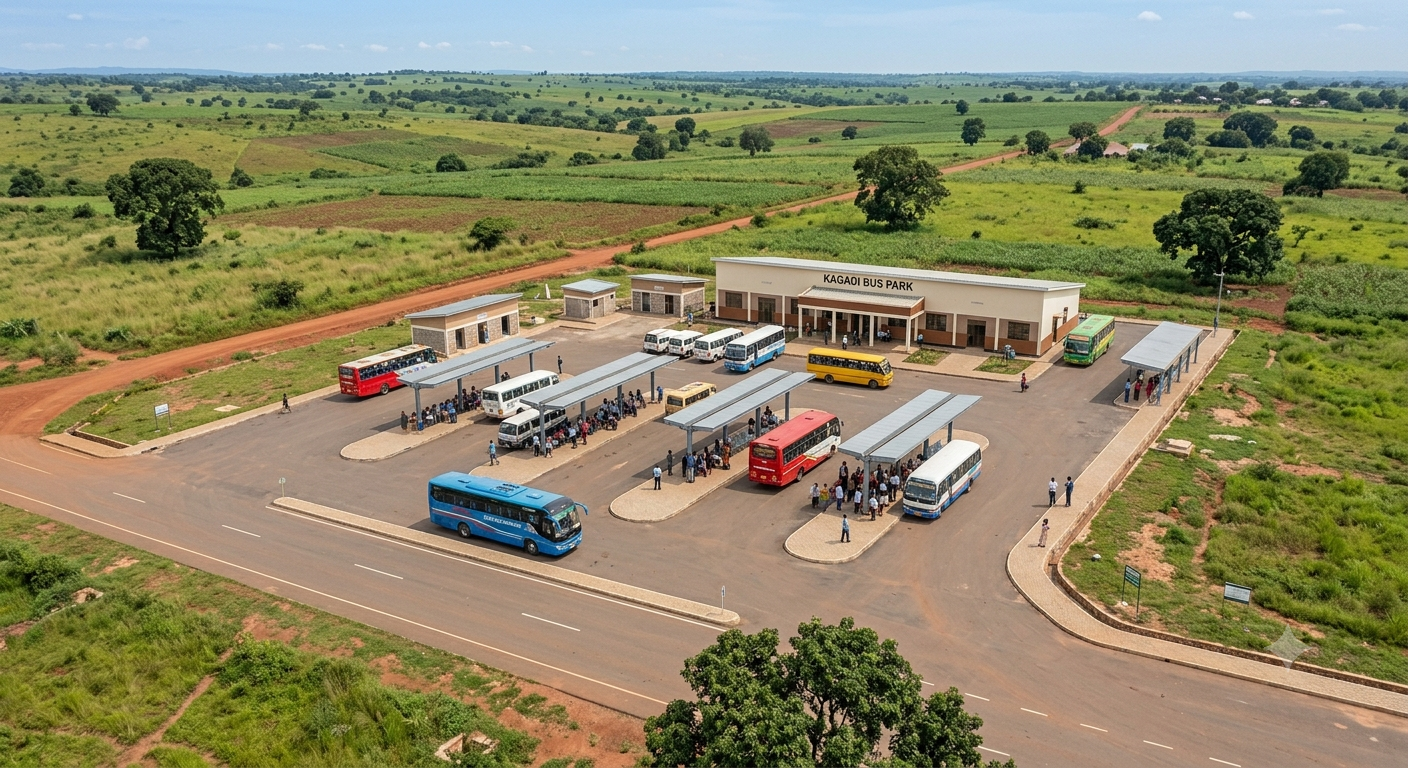
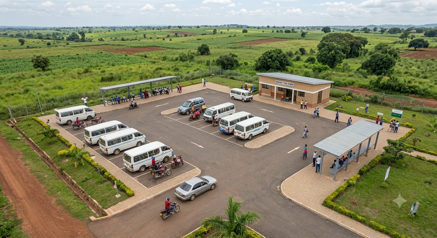
Bus park, taxi park and regional connections
Agro-processing
Storage, processing and packaging for local produce
Planned development
Real estate guided by Kagadi's structure plan
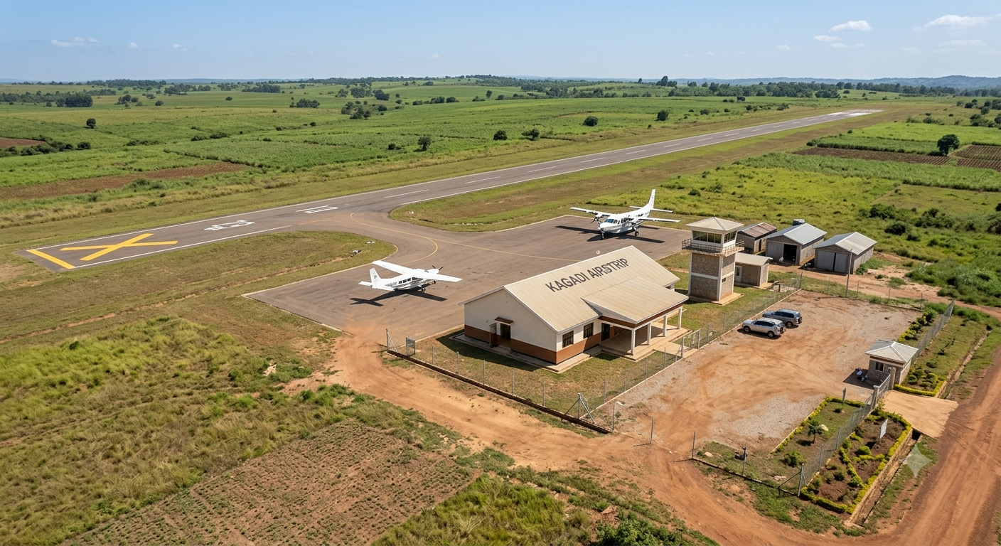
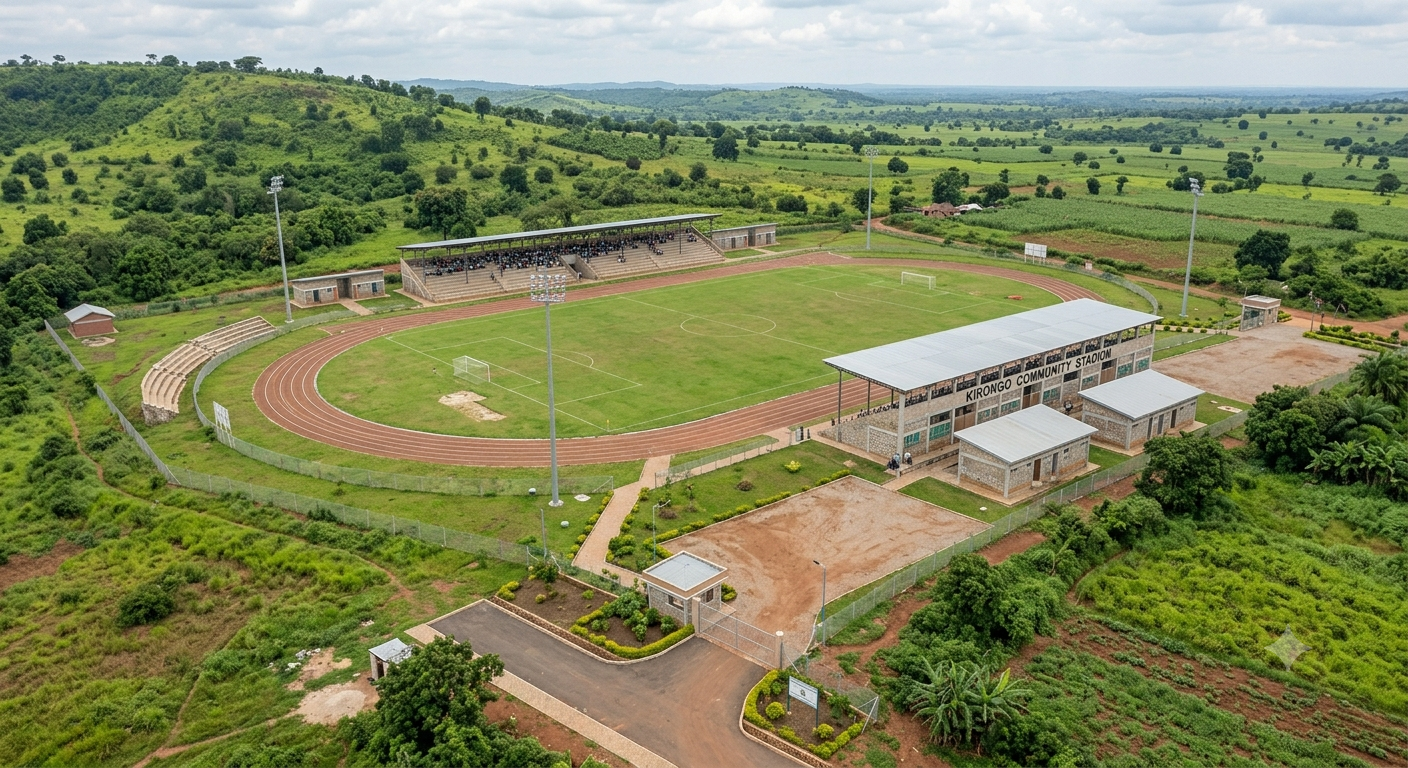
Project images are concept visuals. Proposals, land availability, approvals and partnership terms must be confirmed directly with Kagadi Town Council.
Go directly
Everything in Kagadi Town, in one place
Tap any section to open it.
Newsroom
Latest news from Kagadi Town
Latest adverts in Kagadi Town
View all adverts →Community campaign archive
SEYEYA Marathon — Running to Green Kagadi Town
Event information, environmental action, community photographs and the official poster remain available in the marathon section.
History & Heritage
Background of Kagadi Town
Kagadi has a long history of development and transformation. Its history can be traced back to the Buganda Agreement of 1900, when Nsitesekoma Ambrose was appointed by the Kabaka of Buganda as the Sabaadu of Kagadi.
By 1938, approximately 49 acres of land had been acquired as the official seat of the Gombolola and the Sabaadu of Kagadi. During this period, Indian traders attempted to establish cotton-buying stores in the area. However, they were later stopped from operating, and many of the Indian traders moved to other areas.
In 1966, the Government of Uganda began constructing Kagadi Hospital. The construction attracted many people to the area, with settlements growing around the hospital as people came to provide food and other services to the workers involved in its construction.
In 1972, during the government of President Idi Amin, people from highly populated areas of kigezi were resettled in an area that became known as the Kagadi Resettlement Scheme. This contributed further to the growth of Kagadi.
In 1974, Buyaga County was divided into two, creating Buyanja County, with Kagadi becoming the headquarters of Buyaga. Later, Buyaga and Buyanja were merged and eventually elevated to sub-district status. Kagadi Trading Centre was subsequently elevated to Town Board level, marking another important stage in its development.
Between 1980 and 1985, Matia Kisembo, then Minister of Information and Member of Parliament for Hoima West constituency, initiated efforts toward the physical planning of Kagadi. His vision included plans for a bank, post office, primary school, town council and Kagadi District headquarters. However, due to political instability at the time, most of these plans were not fully implemented.
In 1989, Kasaija William Mugenyi and Bamanya Edward became district councillors representing Kagadi Sub-County in Hoima District Council. They spearheaded efforts to physically plan and develop Kagadi Town. A revised physical development plan was prepared with the support of the Physical Planning Department of the Ministry of Lands in Kampala, under the guidance of Senior Physical Planner Mr. Nathan Rubakara.
Through a self-help approach, the community participated in opening many of the roads and streets that exist in Kagadi today, covering approximately 15 kilometres. During this period, important public facilities and development areas were initiated, including Kagadi Secondary School, Kagadi Bus Park, the Market and Taxi Park, Kagadi Civic Centre and the Stadium. Land for some of these facilities was identified with the assistance of surveyors, including Peter Kyamanywa from Hoima.
The physical development of Kagadi continued progressively through different planning stages. The detailed physical plan of 1990 was later revised in 1997 and subsequently revised again in 2008-2018. The 2008 revision involved various stakeholders, including Nyakwebara, who participated as a consultant under Eco-Shelter.ug.
These successive planning efforts have contributed to the growth of Kagadi from a trading centre into an important urban and administrative centre in western Uganda. The continued development of Kagadi provides a foundation for the current vision of building a smart, inclusive and investment-ready Kagadi Town through collaborative urban planning, resource mobilization and strategic partnerships.
Kagadi's existing physical development plans have expired or been altered, allowing development to move ahead of physical planning and creating a risk of slum growth beyond the town centre. Muhumbu Cell, formerly planned as a low-density area, is one example.
In 1990, Kagadi was a growth centre with about 1,200 people. Today, within the current town boundary of about 4 km radius, the population is approximately 40,000, spread across six wards: Kyomukama, Kitegwa, Kiraba, Kibanga, Mambugu and Kagadi Central.
Source: Kagadi Town historical records
Key milestones
1900
Nsitesekoma Ambrose appointed Sabaadu of Kagadi under the Buganda Agreement.
1938
49 acres acquired as the official seat of the Gombolola and Sabaadu of Kagadi.
1966
Government begins construction of Kagadi Hospital, drawing new settlement.
1972
Kagadi Resettlement Scheme resettles people from Kigezi during Idi Amin's government.
1974
Buyaga County split; Kagadi becomes headquarters of Buyaga and later a Town Board.
1980-1985
Matia Kisembo initiates physical planning for Kagadi.
1989
Kasaija William Mugenyi and Bamanya Edward spearhead town planning as district councillors.
1990
Growth centre of about 1,200 people; detailed physical development plan prepared.
1997
Physical development plan revised.
2008-2018
Plan revised again with Eco-Shelter.ug and stakeholder input.
Today
Approximately 40,000 people within a 4 km radius across six wards.
About Kagadi
A vision for sustainable growth and inclusive innovation.
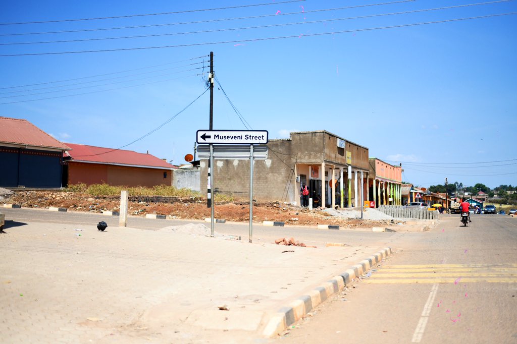
Kagadi Town lies in Buyaga East County within the Bunyoro Sub-region and serves as the commercial and administrative headquarters of Kagadi District — one of Uganda's 134 districts, carved out of the former Kibaale District in 2016. Sitting at roughly 1,180 m above sea level, some 95 km southwest of Hoima and about 246 km west of Kampala, Kagadi has grown from a modest trading post into one of Western Uganda's fastest-rising commercial hubs, home to more than 471,000 residents district-wide (UBOS 2024 Census) and served by the African Rural University and Kagadi General Hospital.
1900s
A small Banyoro trading settlement takes root along the Hoima–Fort Portal road
2016
Kagadi District is created and Kagadi becomes District Headquarters
2020
Kagadi Town Council upgraded — bus park, taxi park & daily market formalised
2024
UBOS Census: 471,111 residents in the district; town rapidly urbanising
2026
Smart-city infrastructure & digital citizen services rollout
Vision
To become Uganda's leading smart, sustainable and investment-friendly municipality.
Mission
To provide quality public services while promoting innovation, inclusive growth and environmental protection.
Core Values
471k+
District Pop.
Bunyoro
Sub-region
District HQ
Status
Official Resources & Related Links
Kagadi District Local Government
Official district portal — news, council, services & contacts.
Kagadi District Overview
Location, size, demographics and administrative structure.
Bunyoro-Kitara Kingdom
Official website of the Kingdom Kagadi belongs to.
Explore Bunyoro Kingdom
Tourism, business, clans, history and directory.
Kagadi on Wikipedia
Encyclopedia entry on Kagadi town and district.
Uganda Bureau of Statistics
Census & statistical data source for Kagadi District.
Media wall
Kagadi right now
Photographs from the official town media library — infrastructure, enterprise and community life.
Ready to invest, visit or engage with Kagadi Town?
Join a growing community of citizens, investors, and visitors shaping Uganda's smart municipal future.
Read the town's own documents
Speeches, booklets & official plans
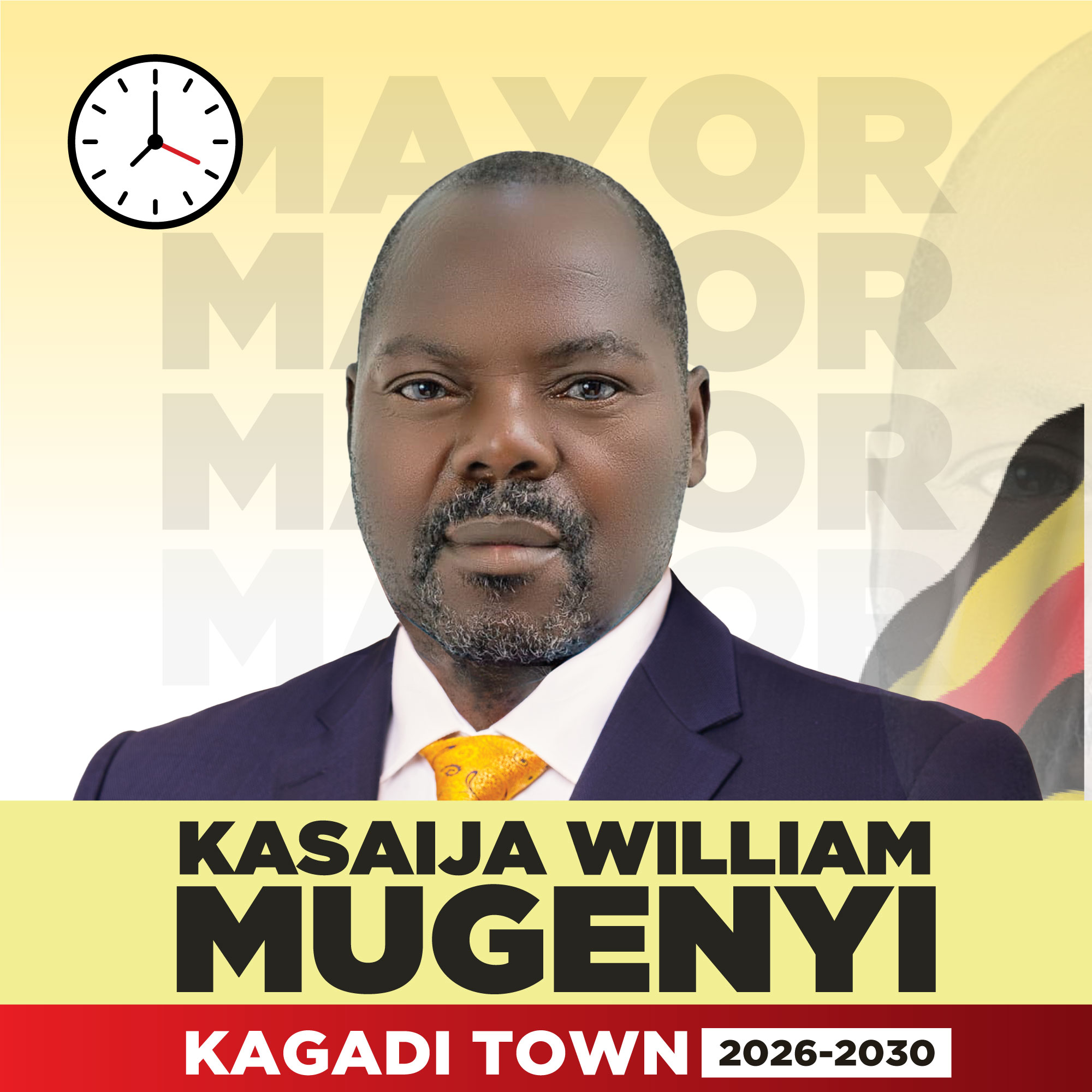
Speech
The Mayor's address to the Asian business community
Read the full speech, word for word, with search and print.
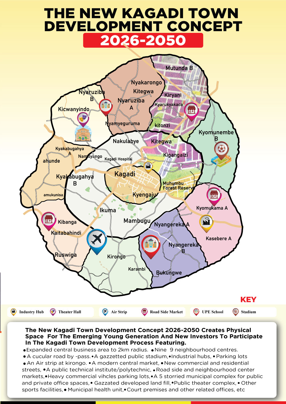
Booklet
The New Kagadi Town Development Concept 2026–2050
All 24 pages of the official publication, plus the PDF download.
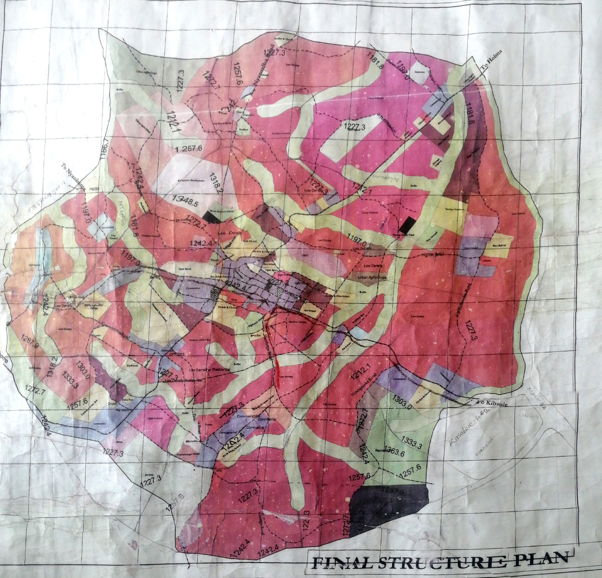
Plan
Kagadi Town Final Structure Plan
The detailed land-use map of the town, with a full key.
Notes
The Mayor's 17-point plan for Kagadi
Priorities and commitments for the town, page by page.
Explore everything
All sections of this website
Visit every part of Kagadi Town online — services, accountability, news, businesses, tourism and more.
Comments on this page
Tell the council what you think about Home
Every comment goes straight to the administrator console and on to Kagadi Town Council. Approved comments appear publicly below with the council's reply.
No published comments on this page yet — be the first to comment.